Map of Canada Template for PowerPoint & Google Slides
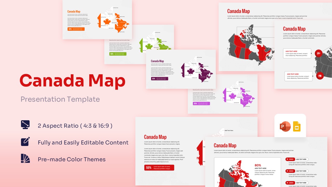


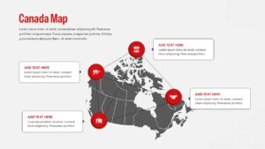
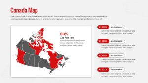
Professional Canada Map Presentation Template
Download this Canada Map Template and use case for geographic data visualization, regional sales reporting, or educational presentations. These Country Maps are designed to help you showcase provincial data with clarity and professional polish. Whether you are highlighting specific market territories or presenting demographic statistics, these maps offer a clean and organized way to communicate your message. By using this Canada Map Template, you can turn complex location-based information into an easy-to-understand visual story that keeps your audience engaged and focused on your key takeaways.
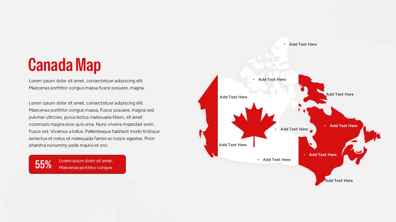
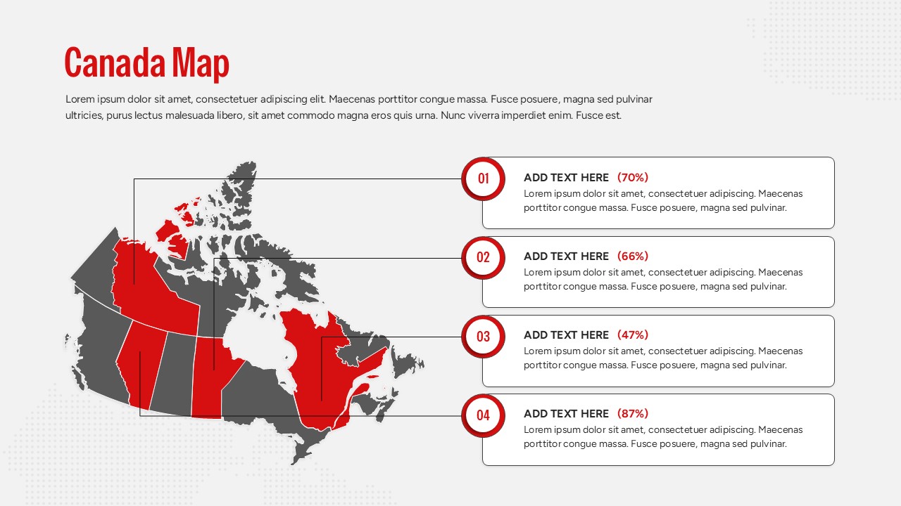
This comprehensive deck features several variations of the Canadian map, including regional breakdowns and highlighted provinces. The template uses a modern, flat design aesthetic with bold accents to ensure your data points stand out. With secondary keywords like provincial outlines, regional analysis, and territory mapping, this slide set provides the flexibility needed for high-stakes corporate meetings. You can easily adjust the colors of individual provinces to reflect different categories, such as “high performing” or “target areas,” making your strategic planning sessions more productive and visual.
These Canada Country Map can be used for a wide variety of professional scenarios. Marketing teams can use them to display regional campaign results, while logistics managers might use them to plot supply chain routes across the country. They are also perfect for academic environments to teach Canadian geography or for non-profits to show the impact of their programs across different provinces. Because the maps are fully editable, you can zoom in on specific regions like Ontario or Quebec or provide a high-level national overview depending on the needs of your specific meeting.
Who Should Download this Canada Country Map
- Sales managers tracking provincial revenue and territory growth.
- Business analysts presenting market research or demographic trends.
- Educators and students creating geography or social studies projects.
- Project coordinators mapping out regional milestones and logistics.
- Travel and tourism professionals highlighting destination spots or tour routes.
Why Use this Template – Canada Regional Mapping
- Simplifies complex regional data into digestible visual segments.
- Provides a professional edge for corporate and academic briefings.
- Offers complete customization of colors and text for specific branding.
- Reduces prep time with ready-to-use provincial layouts and territory markers.
Key Features
- 100% Vector-Based Graphics
- Fully Layered & Organized
- Multi-Platform Support
- Theme Color & Theme Font
Frequently Asked Questions
- Can I change the color of a specific province?
- Yes, every province is a separate vector shape that can be recolored individually to highlight specific regions.
- Does this work with Google Slides?
- Absolutely, the file is fully compatible with both Microsoft PowerPoint and Google Slides.
- Are the text boxes movable?
- Yes, you can drag, drop, and resize all text elements to fit your specific data needs without losing formatting.
Related Templates
-
 $4.99
$4.99 -
 $3.99
$3.99 -
 $3.99
$3.99 -
Australia Map for PowerPoint & Google Slides
Country Maps
$3.99