Europe Map Template for PowerPoint & Google Slides

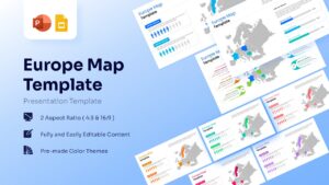

European Continent Map Template
Download this Europe Map Template and use case it to illustrate regional market distribution, supply chain routes, or demographic data across the European continent. This professional slide deck is designed to help you transform complex geographical information into a clear and visual narrative. Whether you are highlighting sales performance in Western Europe or outlining expansion plans into the Nordic regions, these maps provide the perfect foundation for a polished, authoritative presentation.
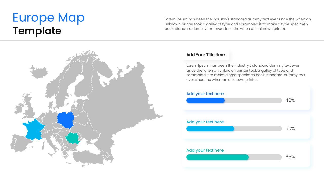
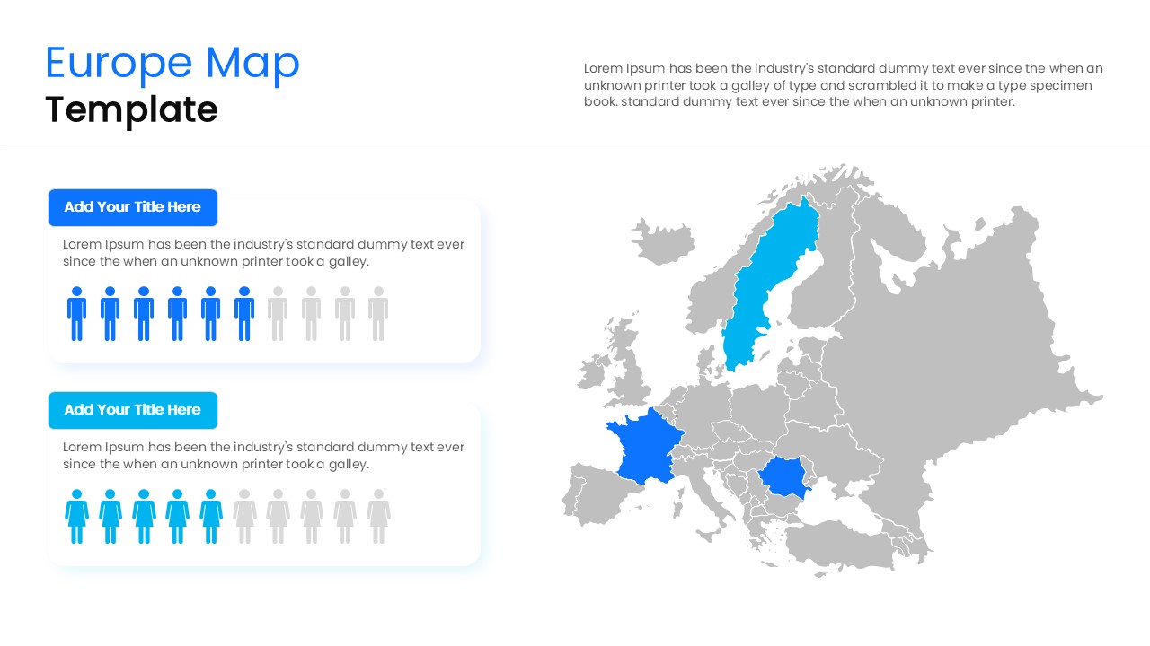
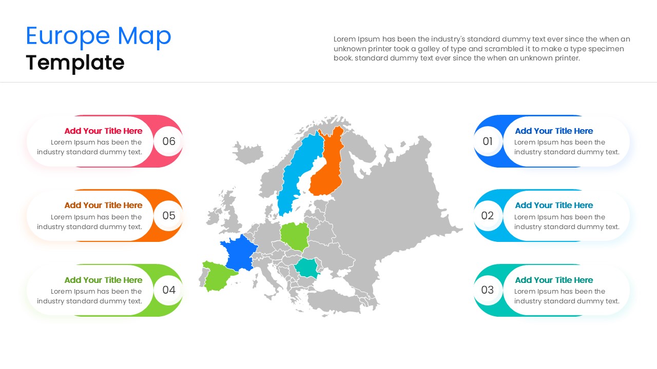
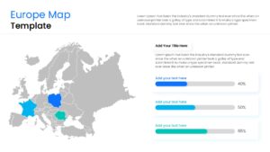
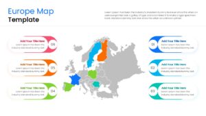
This Europe Map Diagram features a highly detailed and fully editable map of Europe, allowing you to focus on specific countries like Germany, France, or Italy with ease. Each country is a separate vector shape, which means you can pull sections apart, change colors to represent data density, or add custom markers to pinpoint office locations. The clean, modern aesthetic ensures that your data remains the star of the show, while the structured layout helps your audience stay focused on key regional insights.
These templates can be used for corporate strategy sessions, international marketing reports, educational geography lectures, or logistics planning. Because the graphics are 100% vector-based, they maintain perfect clarity on everything from a laptop screen to a large boardroom projector. You can seamlessly integrate these slides into your existing branding by adjusting the theme colors and fonts, making it an essential asset for any professional operating in the European market.
Why Use this Europe Continent Map Template
- Clearly visualize European market share and regional growth.
- Simplify geographical data for faster stakeholder decision-making.
- Professional-grade design saves you hours of manual drawing.
- Fully customizable shapes allow for precise regional focus.
- Built-in text placeholders for structured, easy-to-read data.
Who Should Download European Continent Map
- Regional sales managers reporting on European territory performance.
- Strategic planners mapping out international business expansion.
- Educators teaching European geography, history, or political science.
- Logistics professionals visualizing cross-border shipping and trade routes.
- Marketing teams analyzing demographic trends across different EU nations.
Key Features
- 100% Vector-Based Graphics
- Fully Layered & Organized
- Multi-Platform Support
- Theme Color & Theme Font
- High-Definition 16:9 Aspect Ratio
Frequently Asked Questions
- How do I highlight a specific country in this Europe map?
- Simply click on the individual country shape and change its fill color using the standard formatting tools in PowerPoint or Google Slides.
- Are the country borders accurate in this template?
- Yes, the template uses high-quality vector outlines that represent the major political boundaries of the European continent.
- Can I use these maps for a commercial business presentation?
- Absolutely; these slides are designed specifically for professional and corporate environments to ensure a polished look.
Related Templates
-
 $3.99
$3.99 -
-
 $4.99
$4.99 -