Editable Free World Map Template for PowerPoint & Google Slides
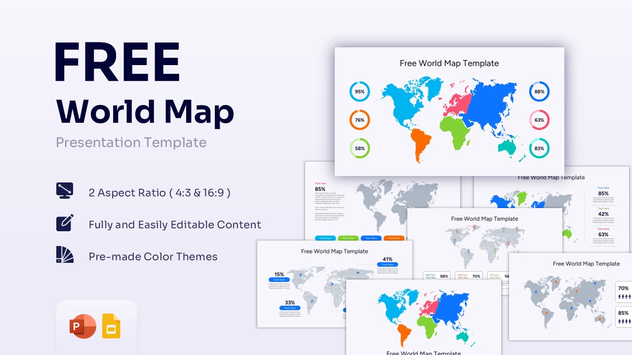


World Map Infographic Presentation Template
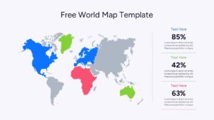
Download this Free World Map Presentation Template and use case for global business reports, international marketing strategies, and educational geography lessons. This world maps template allows you to visualize data across continents with professional ease, helping you look prepared for any boardroom meeting or classroom lecture. By using these world map slides, you can quickly highlight regional performance, office locations, or market expansion plans without spending hours on design.
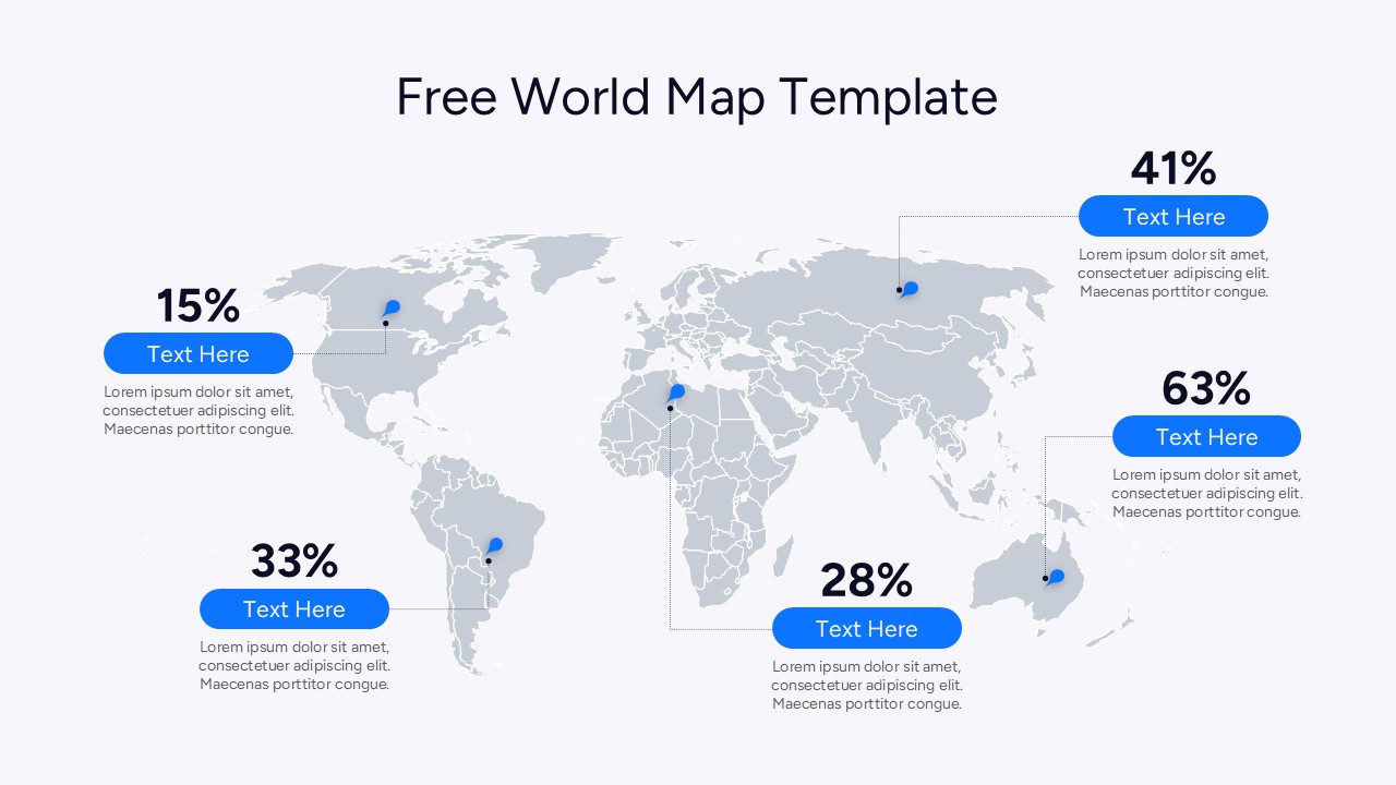
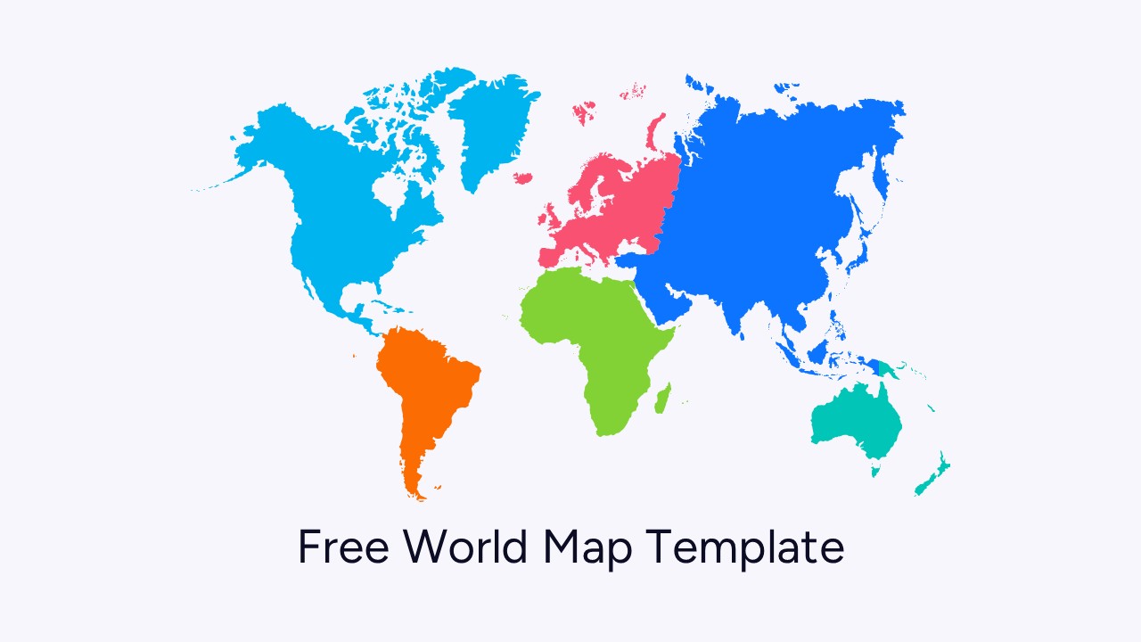
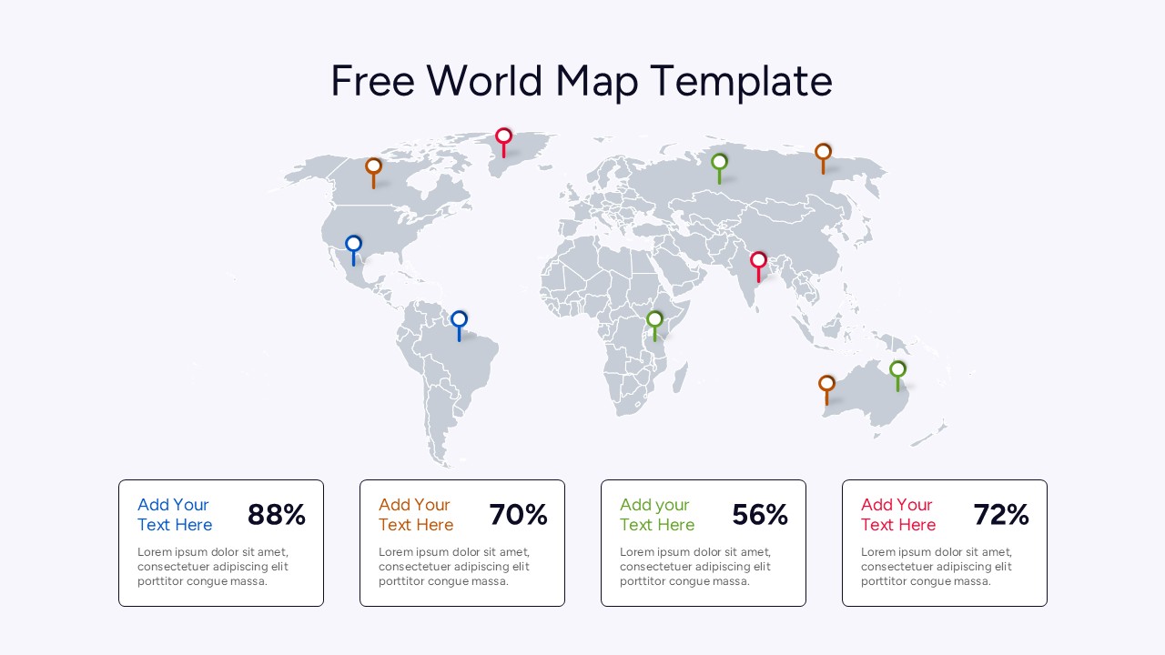
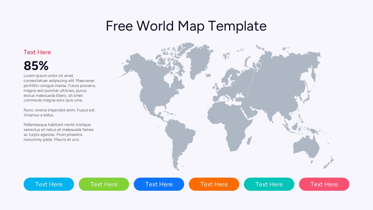
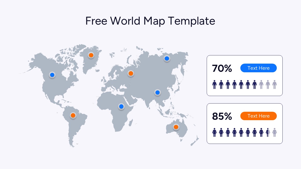
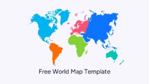
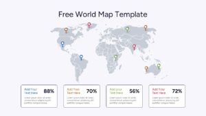
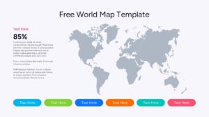
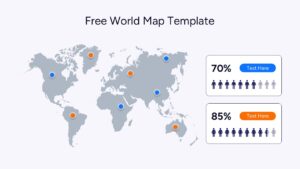
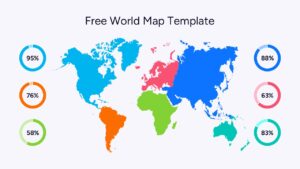
This World Map Template set features a variety of layouts, including color-coded continents and pinpoint markers for specific city locations. Whether you need to show percentage-based statistics using circular progress bars or detailed regional breakdowns with clean text boxes, this template has you covered. The design uses high-quality vector graphics, ensuring that your world map remains crisp and clear even when scaled for large projector screens or shared during virtual meetings.
In practice, these Map templates can be used for annual sales reviews to show revenue by territory, or by NGOs to track project impact across different countries. Logistics managers can use the pin-marker slides to map out supply chain routes, while travel agencies can create engaging itineraries for clients. Because these free slides are fully editable, you can change the colors of individual countries or continents to match your corporate branding or specific data points in just a few clicks.
Why Use these World Map Templates
- Visually communicates global data trends to help stakeholders make informed decisions faster.
- Simplifies complex geographical information into easy-to-read infographics and map markers.
- Reduces presentation prep time with pre-made layouts for statistics, locations, and regional focus.
- Ensures a polished and professional aesthetic that builds confidence during high-stakes pitches.
Who Should Download this World Map
Business analysts, regional managers, and marketing executives who need to present international data or expansion strategies. It is also a perfect tool for educators teaching geography, researchers presenting global health or environmental statistics, and startup founders showcasing their potential market reach to investors. Additionally, logistics planners and travel coordinators will find the pin-drop and route-mapping features incredibly helpful for daily reporting.
Key Features
- 100% Vector-Based Graphics
- Fully Layered & Organized
- Multi-Platform Support
- Theme Color & Theme Font
- 2 Aspect Ratios (4:3 & 16:9)
- Pre-made Color Themes
Frequently Asked Questions
- Can I edit individual countries in this map?
- Yes, the maps are built using vector shapes, which means you can click on specific regions or countries to change their colors or move them.
- Does this template support both 4:3 and 16:9 formats?
- Absolutely. The download includes files optimized for both standard and widescreen aspect ratios to fit any projector or screen.
Related Templates
-
 Free
Free -
 $4.99
$4.99 -
-
 Free
Free