Editable Middle East Map Template for PowerPoint & Google Slides
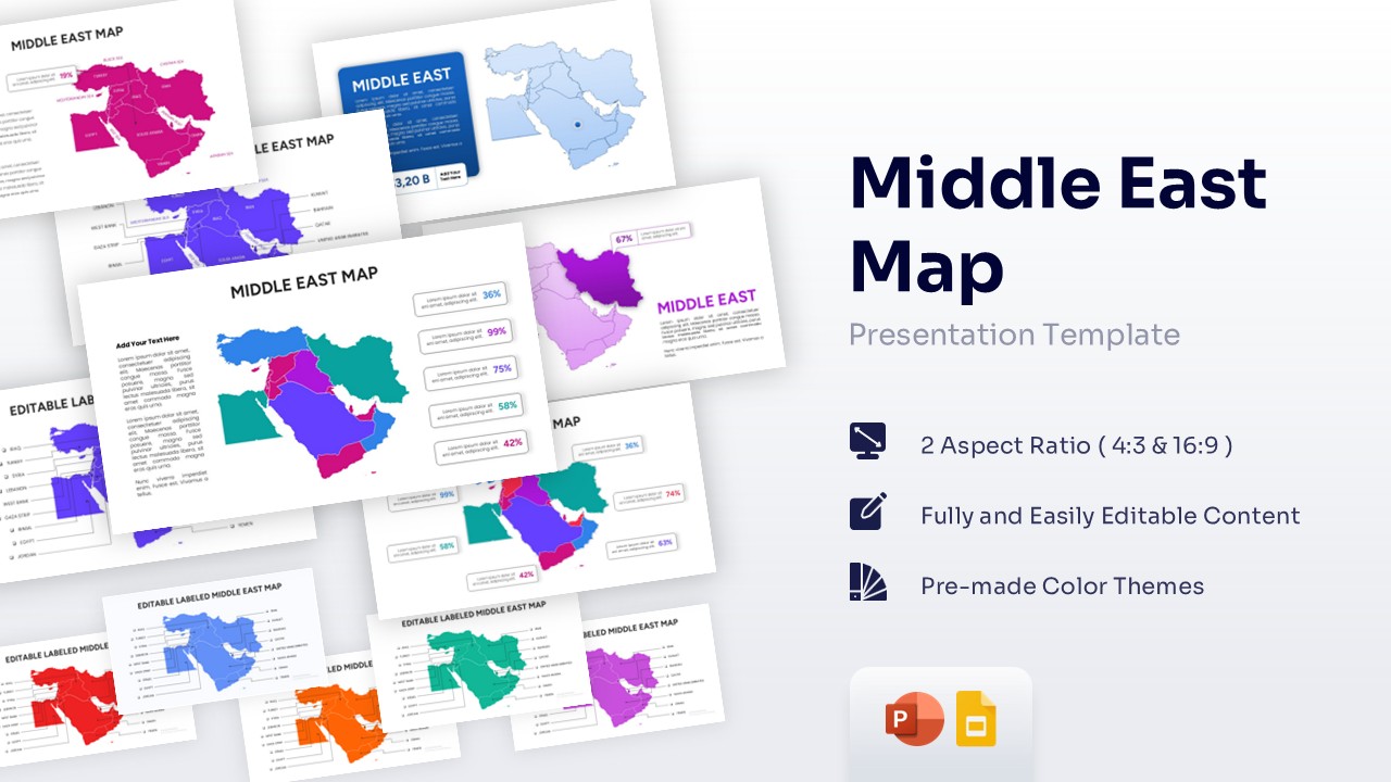


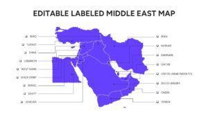
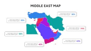
Map of Middle East Countries
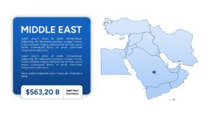
Download this Middle East Map Template and use case for business expansion plans, geopolitical analysis, or regional market reports. This comprehensive template helps you visualize the complex landscape of the Middle Eastern region with clarity and professional flair. Whether you are pinpointing office locations, tracking supply chain routes, or presenting demographic shifts, these middle east country map templates provide a solid foundation for your data. The clean layout ensures your audience stays focused on the key insights without getting lost in cluttered details, making it perfect for high-stakes executive meetings or educational seminars.
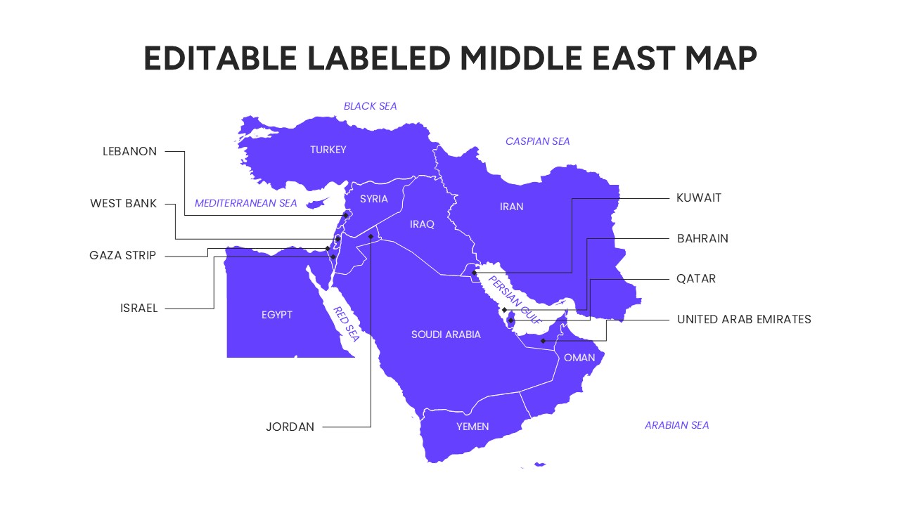
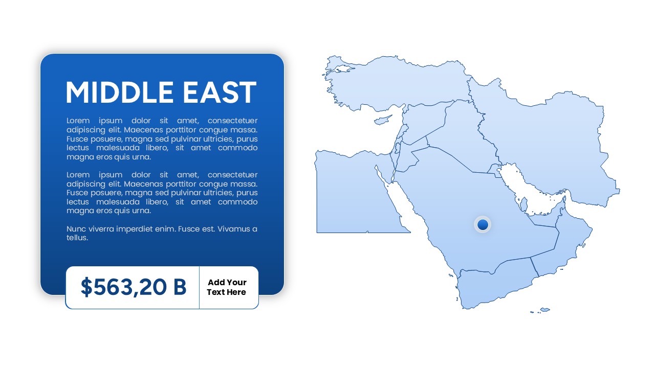
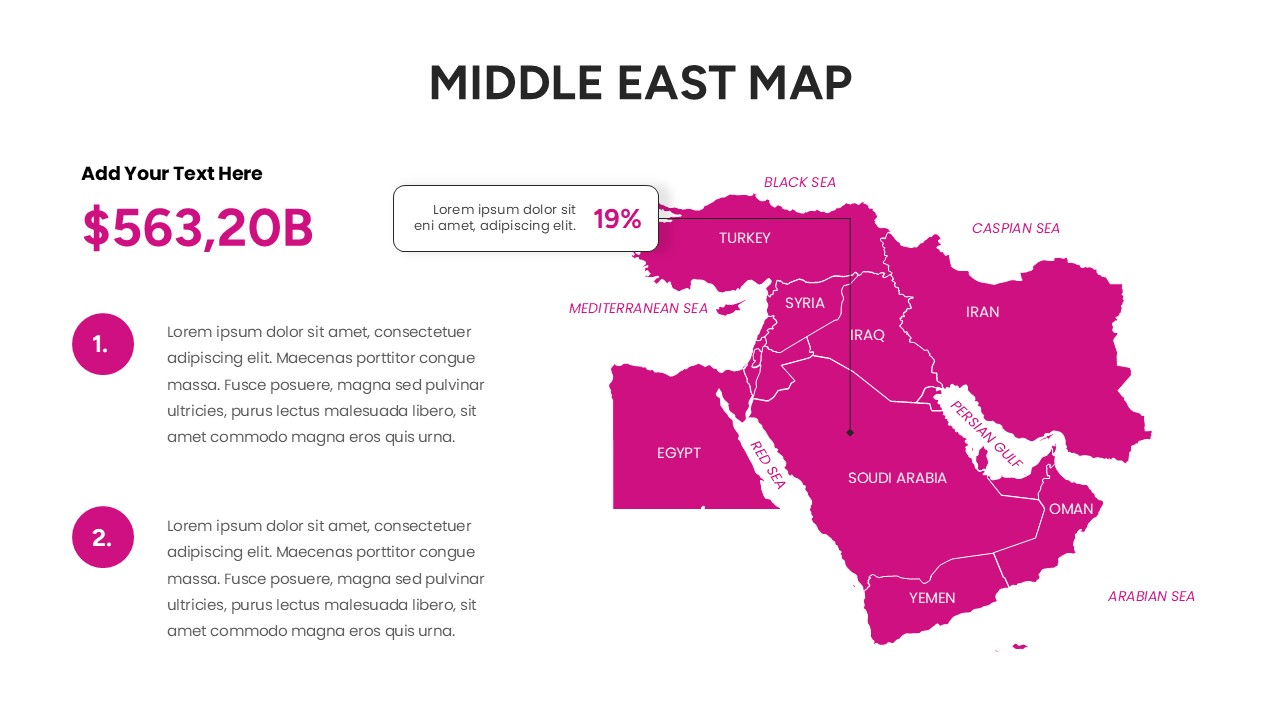
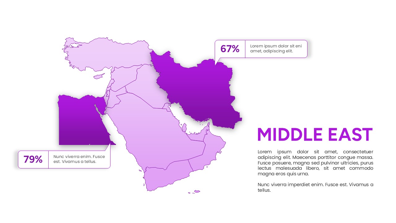
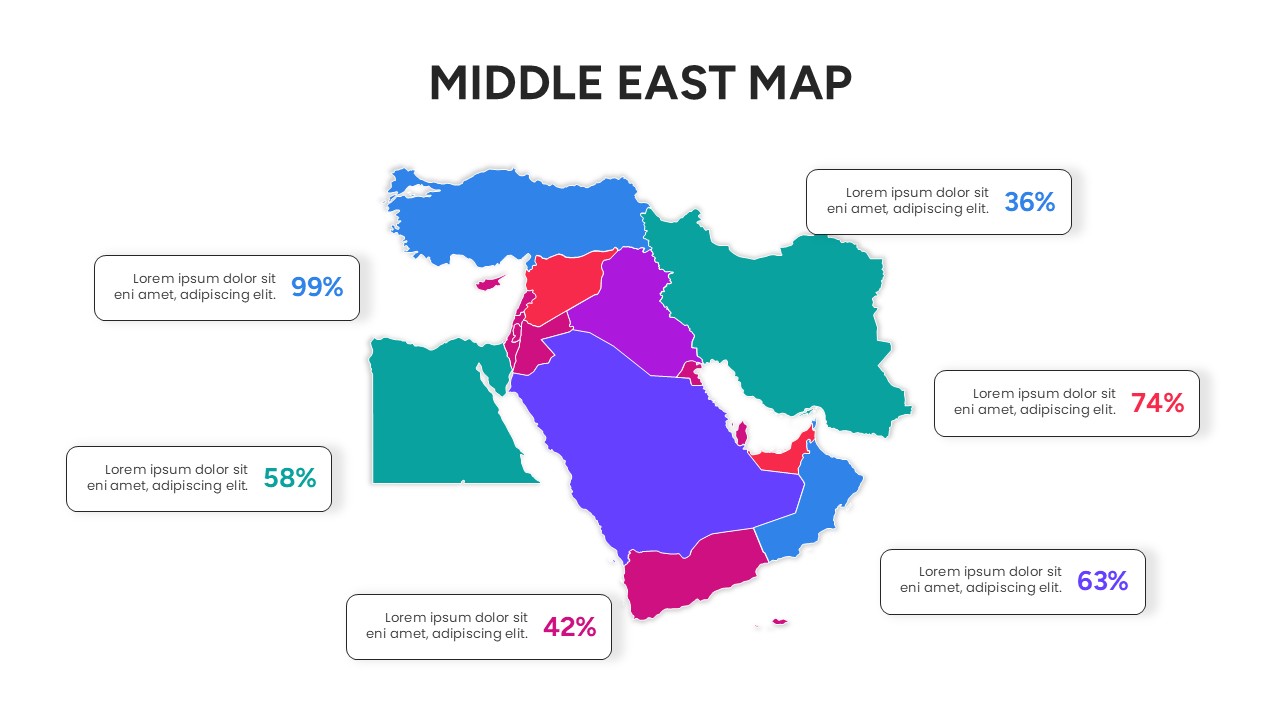
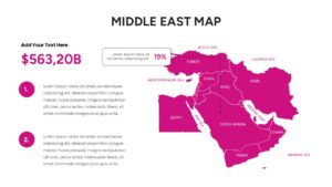
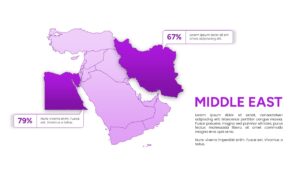
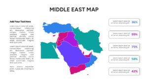
This editable Middle East map slide deck features a variety of layouts, including labeled country borders, percentage-based data callouts, and highlighted regional clusters. Using secondary keywords like Arabian Peninsula geography and Gulf Cooperation Council (GCC) data visualization, the template allows you to break down information by specific territories or economic zones. Every element is a vector graphic, meaning you can recolor individual countries like Saudi Arabia, Egypt, or Turkey to match your corporate branding or to signify different performance tiers without losing any image quality.
In a professional setting, these map of Middle East can be used for a wide range of scenarios including international trade briefings, regional sales performance reviews, and security risk assessments. Non-profit organizations and educators can also leverage the clear labeling for historical overviews or humanitarian aid tracking. By providing both broad regional views and focused country highlights, the template adapts to the specific narrative of your presentation, ensuring that your geographic data is always presented in a logical and visually appealing manner.
Why Use these Middle East Map – Regional Geography Data
- Provides a clear visual representation of the Middle East region to improve audience retention.
- Reduces prep time by using pre-designed layouts for regional statistics and location markers.
- Ensures a professional look with a consistent design language across all geographic slides.
- Allows for high levels of customization to highlight specific market trends or geopolitical zones.
Who Should Download this Middle East Country Map – Global Business Strategy
- International business consultants, regional sales managers, and logistics coordinators.
- Academic researchers, history teachers, and geography students.
- Government officials and policy analysts focusing on Middle Eastern affairs.
- Marketing agencies planning expansion into the Gulf or Levantine markets.
Key Features
- 100% Vector-Based Graphics
- Fully Layered & Organized
- Multi-Platform Support
- Theme Color & Theme Font
- Easily editable country borders and labels
Frequently Asked Questions
- Can I change the color of a specific country in the Middle East map?
- Yes, every country is a separate vector shape. You can click on any individual nation and change its fill color using the standard formatting tools in PowerPoint or Google Slides.
- Is this map geographically accurate for professional reports?
- The map is designed as a high-quality infographic for visual representation. While it accurately portrays the relative positions and borders of countries in the Middle East, it is intended for presentation purposes rather than technical cartography.
- Does this template support both 4:3 and 16:9 aspect ratios?
- Yes, the template is optimized for both standard and widescreen formats to ensure it fits perfectly on any projector or monitor screen.
Related Templates
-
 $4.99
$4.99 -
 $3.99
$3.99 -
 $3.99
$3.99 -
 $3.99
$3.99