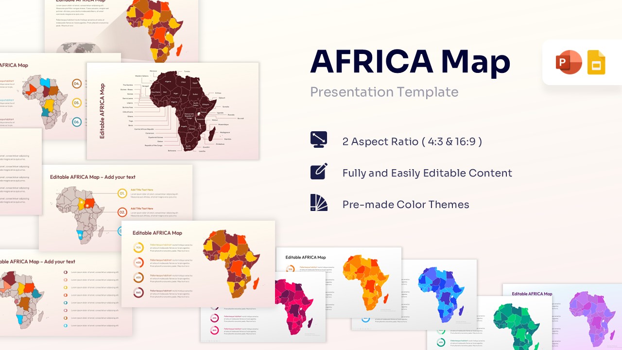
Printable Map of Asia Template for PowerPoint & Google Slides
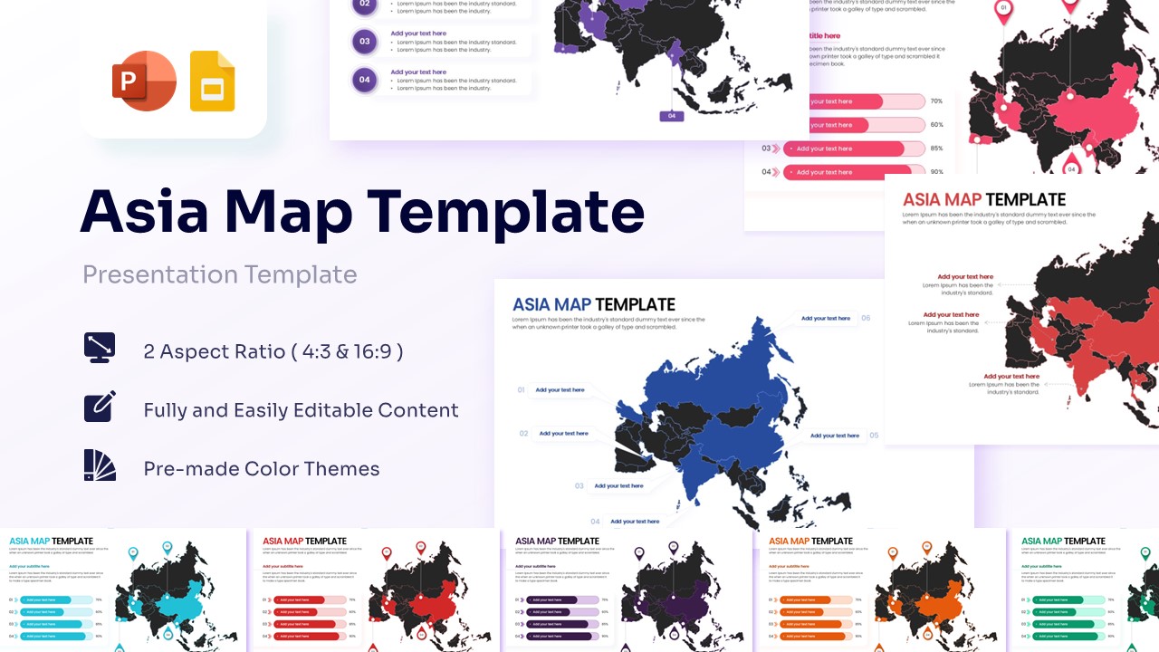


Professional Asia Geographic Presentation Template
Download this Map of Asia Template to present regional data, market presence, or geographic insights with clarity and professional style. This map template toolkit is perfect for visualizing business expansion, supply chain routes, or demographic statistics across the Asian continent. Whether you are highlighting specific countries like India and China or mapping out a multi-national strategy, these slides provide a polished foundation that helps your audience grasp complex location-based information instantly.
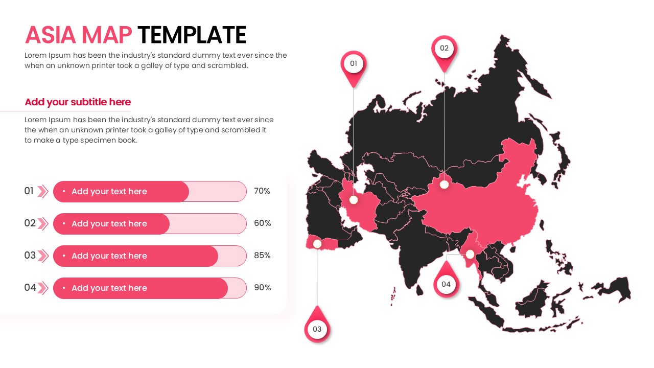
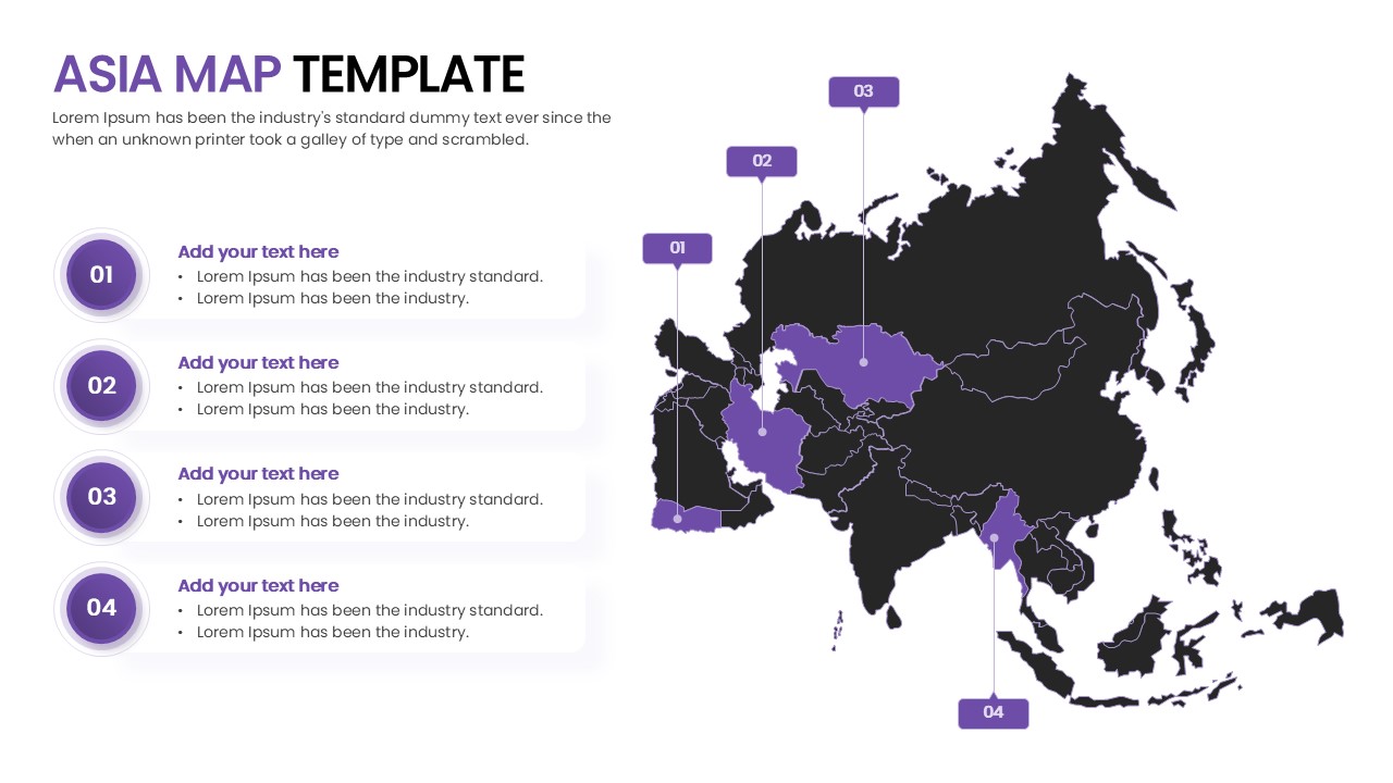
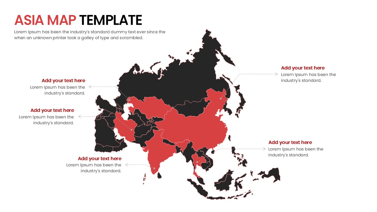
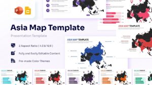
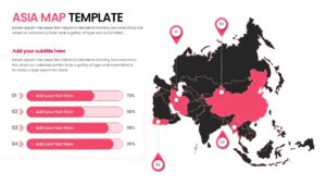
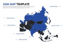
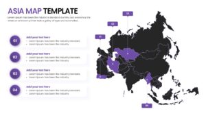
This Asia Map Infographic features high-quality, 100% vector-based maps that allow you to highlight individual regions or countries with ease. The deck includes various layouts such as pin-drop markers, data-driven bar charts paired with maps, and callout boxes for detailed descriptions. With its clean and modern aesthetic, the Asia Map Infographic ensures your data remains the focal point while maintaining a sophisticated look that aligns with corporate or educational standards.
Beyond basic geography, this Asia Map PowerPoint Template and Google Slides is ideal for diverse use cases. Marketing teams can use it to display regional sales performance, while logistics managers can map out distribution networks. It is also an excellent resource for educators teaching geopolitical history or students presenting a thesis on Asian markets. The flexibility of the design means you can adapt the slides for everything from a high-stakes investor pitch to a simple classroom lesson.
- Save hours of design time with pre-built, professional map layouts.
- Clearly communicate regional data using intuitive markers and charts.
- Customize every element—colors, icons, and text—to match your brand.
- Ensure a high-quality look on any screen size with vector graphics.
- Easily switch between PowerPoint and Google Slides without losing formatting.
- Business analysts and strategists mapping out market entry or expansion.
- Sales managers reporting on regional KPIs and territory performance.
- Project managers tracking global milestones or office locations.
- Educators and students needing clear visuals for geography or social studies.
- NGOs and researchers visualizing regional impact or demographic trends.
Why Use this Asia Continent Map
- Visualize regional market share and geographic data distribution clearly.
- Identify and highlight specific Asian countries or territories for focused discussion.
- Maintain professional consistency across your entire business presentation deck.
- Simplify complex location-based information into digestible, visual infographics.
Who Should Download this Map of Asia Continent Template
- Corporate strategists and marketing directors planning Asian market growth.
- Logistics and supply chain professionals mapping out regional hubs.
- Academic researchers and university students presenting geographic data.
- Travel agencies and international consultants showcasing destination networks.
Key Features
- 100% Vector-Based Graphics
- Fully Layered & Organized
- Multi-Platform Support
- Theme Color & Theme Font
Frequently Asked Questions
- Can I change the color of individual countries?
- Yes, all maps are fully editable vector shapes. You can click on any individual country and change its fill color to highlight specific regions or data points.
- Are the pins and markers movable?
- Absolutely. You can drag and drop the location pins, map markers, and callout boxes to any part of the map to accurately represent your data.
- Does this template support wide-screen displays?
- Yes, the template is provided in both 4:3 and 16:9 aspect ratios to ensure it looks perfect on any projector, monitor, or laptop screen.
Related Templates
-
 $4.99
$4.99 -
Australia Map for PowerPoint & Google Slides
Country Maps
$3.99 -
-
 $2.99
$2.99